
Services
Drone Facade Inspection — see every elevation without scaffolding
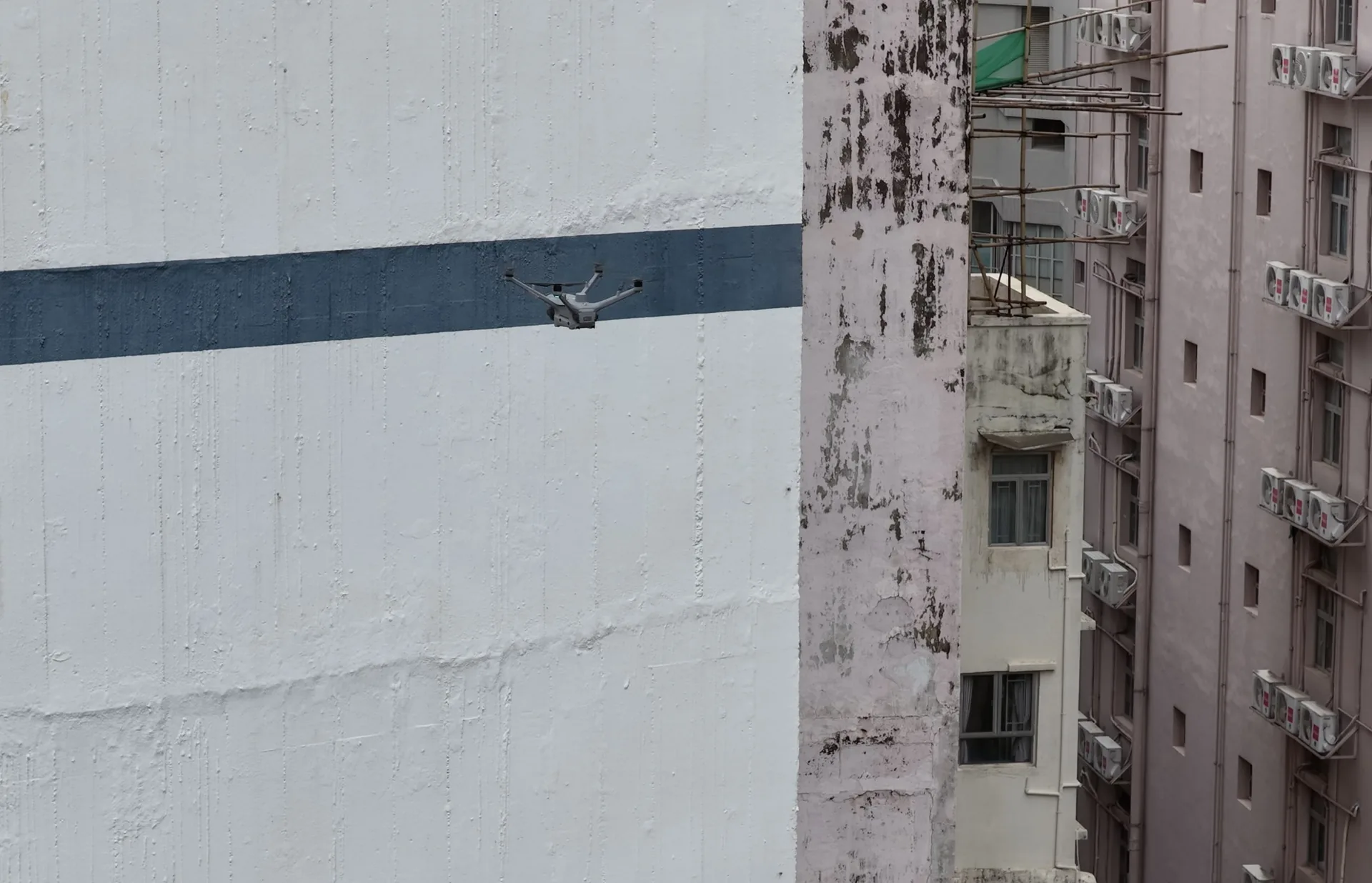
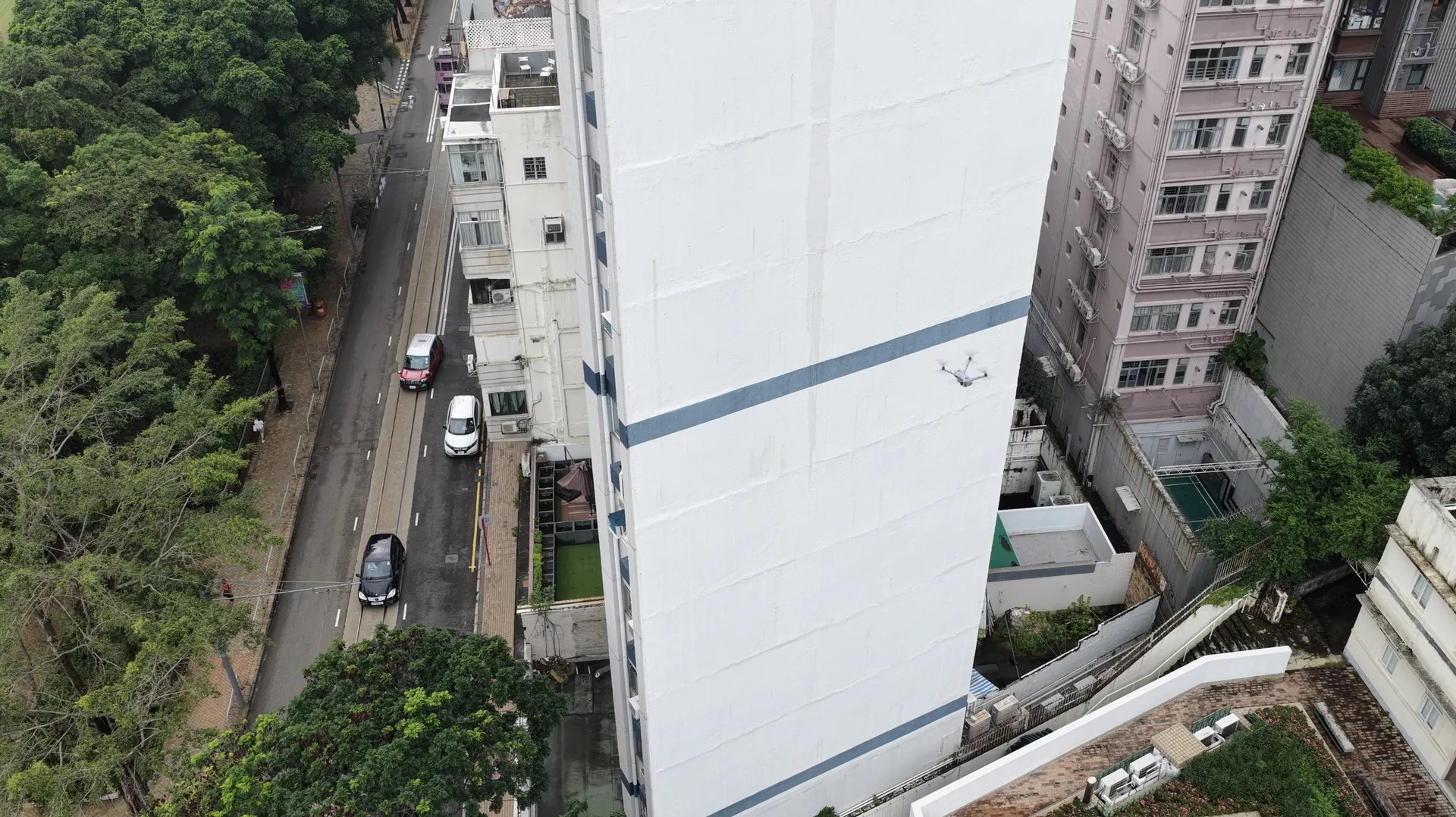
High-resolution visual and thermal drones document the full facade of residential, commercial and industrial buildings, delivered as annotated elevations and an indexed photo log for owners, property managers and consultants.
Conventional facade checks rely on scaffolding, gondolas or rope access — slow, costly, disruptive to occupants and involving work at height. A drone can cover every elevation of a building in a short window, using a 48MP telephoto camera to capture cracks, spalling and water stains in places that are otherwise hard to see.
SkyWorks plans each flight around the building height, surroundings and inspection purpose. After capture, our team reviews every image and tags suspected defects by elevation, floor and location. The report supports maintenance planning, tender scoping, insurance and management records, and can provide early-stage imagery for Registered Inspectors (RI) / Qualified Persons (QP).
Who it is for
- Owners’ corporations and property management companies
- Commercial, industrial and hotel building owners
- Consultants scoping maintenance tenders
- Institutions and schools keeping periodic facade records
Inspection scope
- Facade cracks (hairline and structural crack locations)
- Concrete spalling and exposed rebar
- Debonded or loose mosaic / ceramic tiles
- Water stains, efflorescence and seepage marks
- Window frames, sealant and sills
- Canopies, projections and signboards
- Roofs, parapets and waterproofing
- External pipes, A/C brackets and supports
Traditional methods vs drones
| Criteria | Scaffolding / gondola | Drone inspection |
|---|---|---|
| Lead time | Erection and dismantling take weeks | Scheduled after site assessment; flights take days |
| Cost | Higher scaffold, gondola and labour costs | No temporary works; lower overall cost |
| Disruption to occupants | Blocks windows, affects ventilation and security | Short capture windows with advance notice |
| Work-at-height risk | Workers at height | Crew operates from the ground |
| Coverage | Often partial, limited to scaffold area | Every elevation of the building |
| Repeatability | Re-inspection needs re-erection | Same route can be re-flown for comparison |
Our process
01
Enquiry & drawings
Share the address, building type, storeys and purpose; drawings or past reports help.
02
Site assessment & flight planning
We review surroundings, take-off points and airspace; for advanced operations we apply to the CAD beforehand.
03
Data capture
Visual, telephoto and (if required) thermal imagery along the planned route, with a safety zone in place.
04
Analysis & annotation
Every image is reviewed and suspected defects are tagged by elevation, floor and location.
05
Report delivery & follow-up
We deliver the report and imagery, answer questions and support repair or RI follow-up.
Deliverables
| Deliverable | Content | Type |
|---|---|---|
| Annotated elevations | Suspected defect locations and IDs marked on elevations | Standard |
| Photo index | High-resolution photo for each tagged location | Standard |
| Defect schedule | Type, location, description and suggested follow-up (PDF / Excel) | Standard |
| Thermal comparison | Thermograms alongside visual images with anomaly areas | Optional |
| Orthomosaic / 3D model | Orthomosaic or 3D model of elevations or site | Optional |
| Raw imagery | All original photos and clips (as agreed) | Optional |
Turnaround depends on building size and deliverables selected and is stated in the quotation.
How this relates to MBIS / MWIS
Private buildings aged 30 years or more must appoint a Registered Inspector (RI) under the Buildings Department’s Mandatory Building Inspection Scheme; buildings aged 10 years or more must appoint a Qualified Person (QP) to inspect windows under the Mandatory Window Inspection Scheme. SkyWorks drone imagery supports the RI / QP with preliminary surveys and records.
Statutory inspection, judgement and submissions to the Buildings Department remain the responsibility of the appointed RI / QP, and the RI must carry out the prescribed inspection personally. Drone inspection does not replace MBIS.
Compliance & safety
- Every flight is planned under the Small Unmanned Aircraft Order (Cap. 448G) and relevant Civil Aviation Department guidance; advanced operations are applied for before flying as required.
- Take-off/landing zones and safety areas are set, with observers and warning measures as the site requires.
- Resident notices are coordinated with property management, stating date, time and purpose.
- Imagery is used for inspection purposes only; identifiable people or door numbers captured by accident are masked before delivery.
FAQ
Can drone facade inspection fully replace scaffolding?
Drones are ideal for full visual records and preliminary surveys and can greatly reduce the area that needs scaffolding. Tap tests, sampling or repairs may still require close-range manual work; our report flags locations recommended for follow-up.
Will the inspection disturb residents?
Before flying we coordinate notices with property management stating the date, time and purpose. We capture the facade only and avoid interiors; any identifiable people captured by accident are masked before delivery.
What happens in rain or strong wind?
We decide based on the Observatory forecast and on-site wind. In rain, strong wind or poor visibility we reschedule with you to protect image quality and flight safety.
When will I receive the report?
Turnaround depends on building size, number of elevations and deliverables selected. The expected timeline is stated in our quotation.
How does this relate to the Mandatory Building Inspection Scheme?
Drone imagery can serve as a preliminary survey and image record that supports the RI in planning the inspection. The statutory inspection and judgement must be carried out personally by the appointed RI. See our MBIS & MWIS Support page.
Ready to start your inspection?
Tell us the building address, type and inspection purpose and we will prepare a quotation for your project.