
Services
Infrastructure Survey — aerial records of bridges, slopes and large facilities
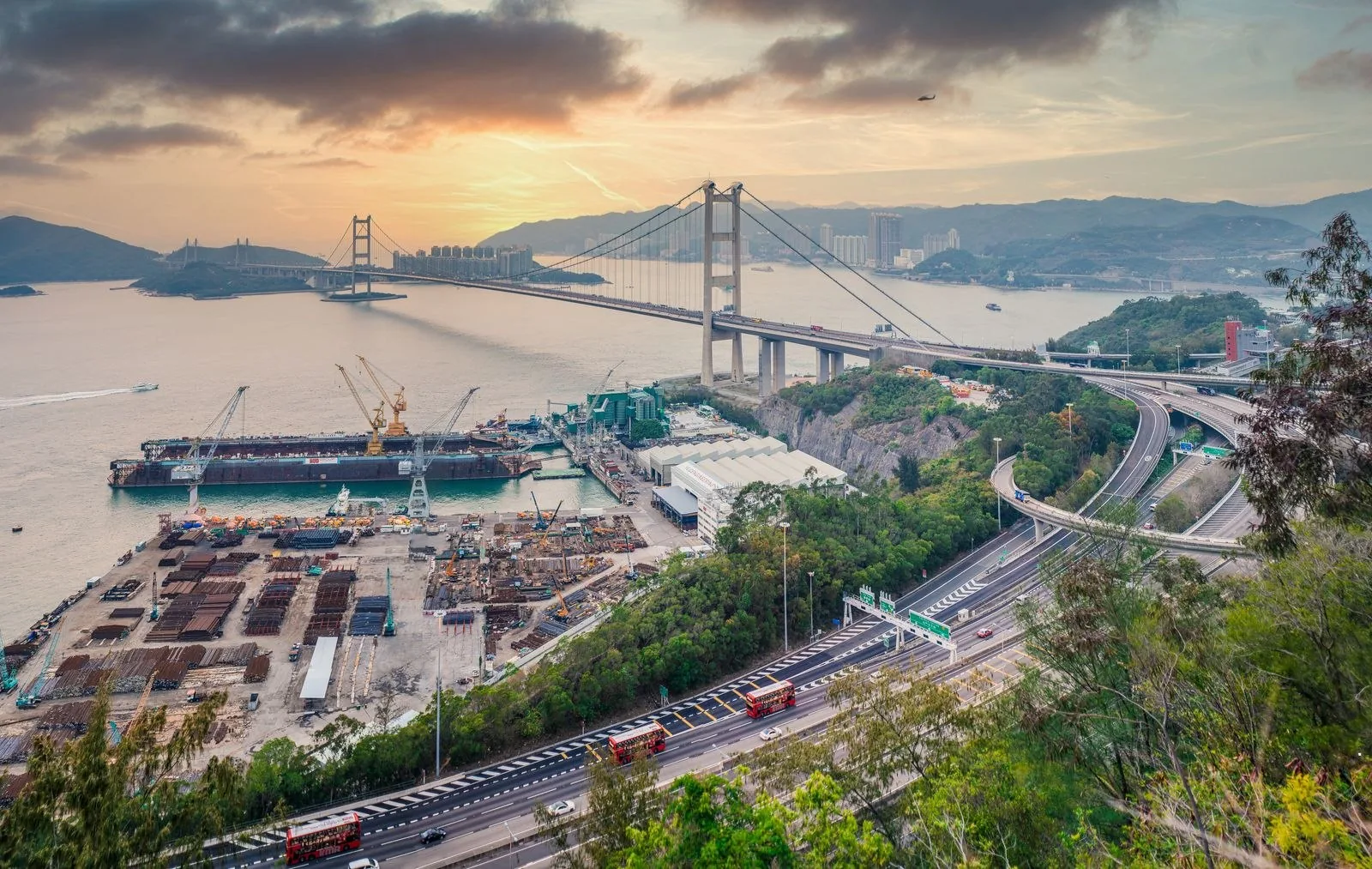
Drone imagery surveys for bridges, slopes, retaining walls and large facilities, reducing the need for road closures and work at height.
Infrastructure is often high up, over water or next to busy traffic, so manual inspection may require road closures, cherry pickers or special access. A drone records surface conditions in less time and gives an image basis for maintenance planning.
Infrastructure work frequently involves restricted zones, airport vicinity or public areas. We assess the location and required permissions before quoting and allow time for applications.

Who it is for
- Facility owners and management bodies
- Engineering consultants
- Maintenance contractors
- Slope and retaining wall owners
Inspection scope
- Bridge soffits and sides
- Slope and retaining wall surfaces
- Rooftop E&M equipment
- Large roofs and steel structures
- Drainage and channel facilities
Traditional methods vs drones
| Criteria | Scaffolding / gondola | Drone inspection |
|---|---|---|
| Lead time | Erection and dismantling take weeks | Scheduled after site assessment; flights take days |
| Cost | Higher scaffold, gondola and labour costs | No temporary works; lower overall cost |
| Disruption to occupants | Blocks windows, affects ventilation and security | Short capture windows with advance notice |
| Work-at-height risk | Workers at height | Crew operates from the ground |
| Coverage | Often partial, limited to scaffold area | Every elevation of the building |
| Repeatability | Re-inspection needs re-erection | Same route can be re-flown for comparison |
Our process
01
Enquiry & drawings
Share the address, building type, storeys and purpose; drawings or past reports help.
02
Site assessment & flight planning
We review surroundings, take-off points and airspace; for advanced operations we apply to the CAD beforehand.
03
Data capture
Visual, telephoto and (if required) thermal imagery along the planned route, with a safety zone in place.
04
Analysis & annotation
Every image is reviewed and suspected defects are tagged by elevation, floor and location.
05
Report delivery & follow-up
We deliver the report and imagery, answer questions and support repair or RI follow-up.
Deliverables
| Deliverable | Content | Type |
|---|---|---|
| Annotated elevations | Suspected defect locations and IDs marked on elevations | Standard |
| Photo index | High-resolution photo for each tagged location | Standard |
| Defect schedule | Type, location, description and suggested follow-up (PDF / Excel) | Standard |
| Thermal comparison | Thermograms alongside visual images with anomaly areas | Optional |
| Orthomosaic / 3D model | Orthomosaic or 3D model of elevations or site | Optional |
| Raw imagery | All original photos and clips (as agreed) | Optional |
Turnaround depends on building size and deliverables selected and is stated in the quotation.
Compliance & safety
- Every flight is planned under the Small Unmanned Aircraft Order (Cap. 448G) and relevant Civil Aviation Department guidance; advanced operations are applied for before flying as required.
- Take-off/landing zones and safety areas are set, with observers and warning measures as the site requires.
- Resident notices are coordinated with property management, stating date, time and purpose.
- Imagery is used for inspection purposes only; identifiable people or door numbers captured by accident are masked before delivery.
FAQ
Can you fly in restricted zones?
Some locations need prior permission from the Civil Aviation Department, which takes time; our quotation explains the lead time and arrangements.
Do roads need to be closed?
Usually not, but depending on take-off positions and safety areas, coordination with the relevant managers may be needed.
Can you provide 3D models?
Yes, as an optional deliverable — see Engineering Survey & Mapping.
Are you insured?
If your project requires proof of insurance or a specific cover, please mention it in your enquiry and we will address it in the quotation.
Ready to start your inspection?
Tell us the building address, type and inspection purpose and we will prepare a quotation for your project.