
Why SkyWorks
Why SkyWorks: compliant, safe, clear reports
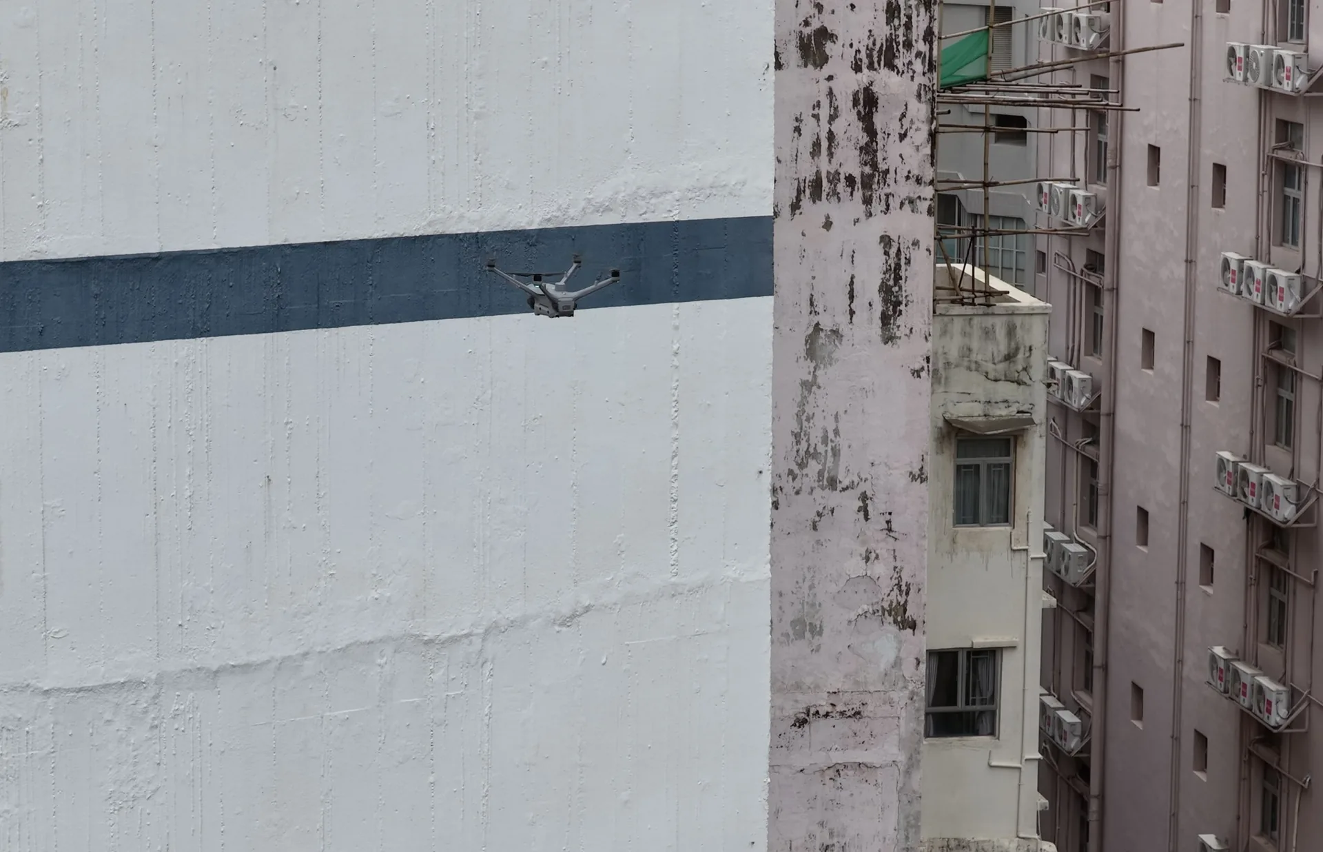
We focus on drone inspection for Hong Kong buildings and projects, with clear procedures from flight planning and site safety to report delivery.
Focused on Hong Kong
Experienced with dense urban settings, residential estates and commercial/industrial buildings.
Professional platform
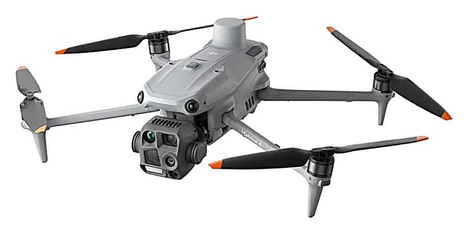
DJI Matrice 4T with wide, medium-tele, tele and thermal cameras.
Actionable reports
Defects tagged by elevation, floor and location with a photo index and schedule for repairs and tenders.
Clear roles
For MBIS-related work we support only; statutory judgement stays with the RI / QP.
Regulatory framework
Small unmanned aircraft in Hong Kong are regulated by the Small Unmanned Aircraft Order (Cap. 448G), which divides operations into standard and advanced categories by weight and risk; remote pilots and aircraft must be registered on the CAD eSUA system. The CAD’s guidance on building survey/inspection (AC-005) sets safety requirements for advanced operations such as speed, distance to buildings, observers and public notice.
We plan every flight against these rules and guidance, operating in line with CAD requirements. References: CAD SUA regulatory requirements, AC-005.
Compliance & safety
- Every flight is planned under the Small Unmanned Aircraft Order (Cap. 448G) and relevant Civil Aviation Department guidance; advanced operations are applied for before flying as required.
- Take-off/landing zones and safety areas are set, with observers and warning measures as the site requires.
- Resident notices are coordinated with property management, stating date, time and purpose.
- Imagery is used for inspection purposes only; identifiable people or door numbers captured by accident are masked before delivery.
Resident privacy & data handling
- Notices coordinated with property management before flights, stating date, time and purpose.
- The building exterior is the subject; interiors are avoided.
- Identifiable people and door numbers captured by accident are masked before delivery.
- Imagery is used for inspection only; ownership, retention and usage are agreed in the contract.
Our process
01
Enquiry & drawings
Share the address, building type, storeys and purpose; drawings or past reports help.
02
Site assessment & flight planning
We review surroundings, take-off points and airspace; for advanced operations we apply to the CAD beforehand.
03
Data capture
Visual, telephoto and (if required) thermal imagery along the planned route, with a safety zone in place.
04
Analysis & annotation
Every image is reviewed and suspected defects are tagged by elevation, floor and location.
05
Report delivery & follow-up
We deliver the report and imagery, answer questions and support repair or RI follow-up.
Ready to start your inspection?
Tell us the building address, type and inspection purpose and we will prepare a quotation for your project.